Punta Marguareis, Maritime Alps, Italy
/Rifugio Garelli, where this day began, is in Parco Naturale Alta Valle Pesio e Tanaro, in the Maritime Alps of north-western Italy. It’s a day’s walk from the ski town of Limone Piemonte. An earlier rifugio here burnt down in 1987, and its replacement took the next three summers to build. When it was opened, the symphony orchestra from nearby Cuneo played from the forecourt to a crowd of thousands, who sat in the sun in the natural amphitheatre formed by Pian del Lupo (Plain of the Wolf) and the ridge to the south.

Rifugio Garelli, on the edge of Pian del Lupo, overlooking the deep Vallone del Marguareis and my previous day’s route, the Grande Traversata delle Alpi (GTA) long-distance walking track
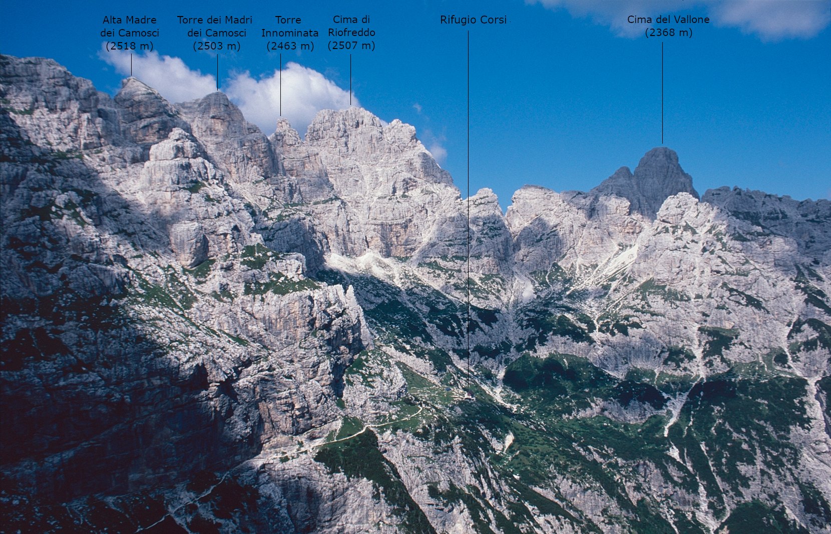
As the sun went down, features to the west were silhouetted against an orange sky, and the following morning at first light the limestone cliffs of the Marguareis massif, across the valley to the south, glowed orange.

The ‘sleeping Hitchcock’ at dusk

Dawn light on the peaks across the valley. The roof line of the rifugio mirrors their shape.

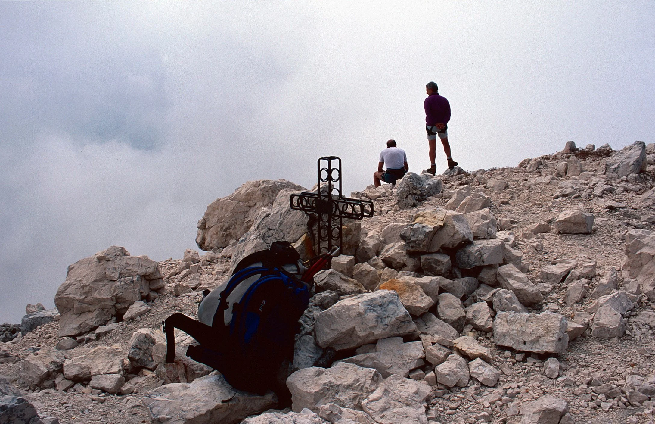
You can just make out the summit cross on Punta Marguareis (2651 metres).

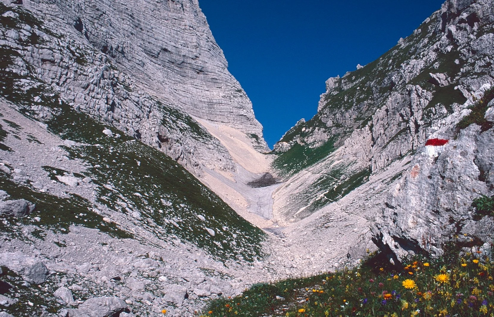
This standing stone on the lip of a depression made a useful landmark along the way.
The most direct route from the rifugio to the top, the via normale, cuts off a few kilometres of walking, but it takes a shaded gully that may hold icy snow well into the summer. I left that for another day and took the more amenable, but slightly longer, route that loops around to the east across limestone plains. You could get seriously lost here in poor visibility: there were few landmarks other than the occasional track junction and a lone stone marker above a small lake. At last, a sign in red paint on a rock pointed up grassy slopes and through some rock bands to a col, and eventually to Marguareis’s broad summit, topped with a weathered cross and giving grand views of the Maritime Alps to the west and Monviso, away to the north-west. Time for an early lunch, to fuel up for a long afternoon.

From the summit you can see Monviso (3841 metres), source of the River Po, off to the north-west.
The route now turned south, along the French border, then west through a remote pocket of France. There was no noticeable change to the landscape – grassy plains, alternating with limestone bluffs – but the track markers were now yellow instead of red. These led across a couple of roads to a saddle, Col della Boaria, and some stone ruins, of a border outpost or something similar.

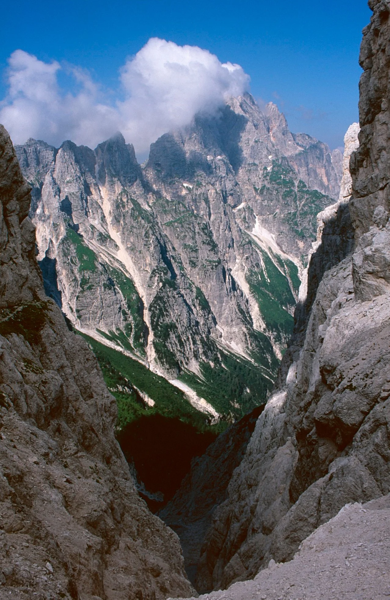
Looking back to Punta Marguareis across French territory from near Col della Boaria
From Col della Boaria, back in Italy again, the route headed down-valley and eventually joined a dirt road, which led to a tiny church in the tumbledown village of San Giovanni and back to the bright lights of Limone Piemonte.